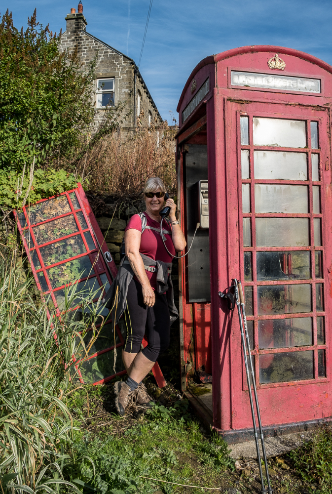
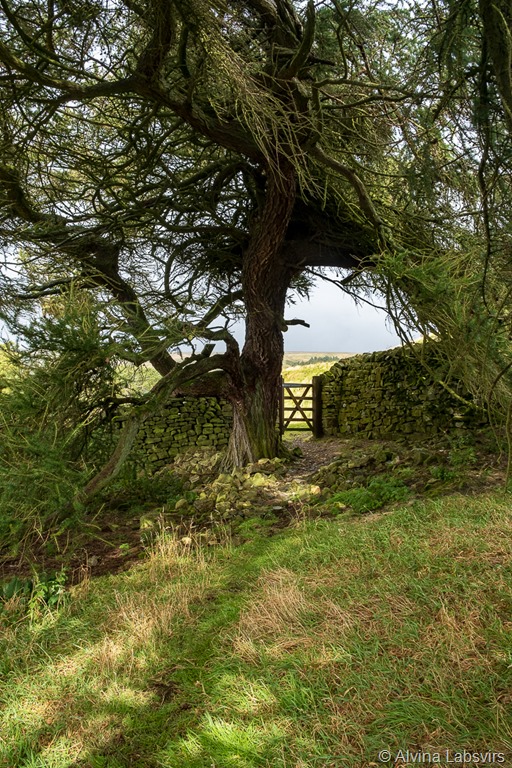
Middlesmoor phone

Walk and Travel in Cumbria and Beyond
Clare Balding took six days,
we took four.
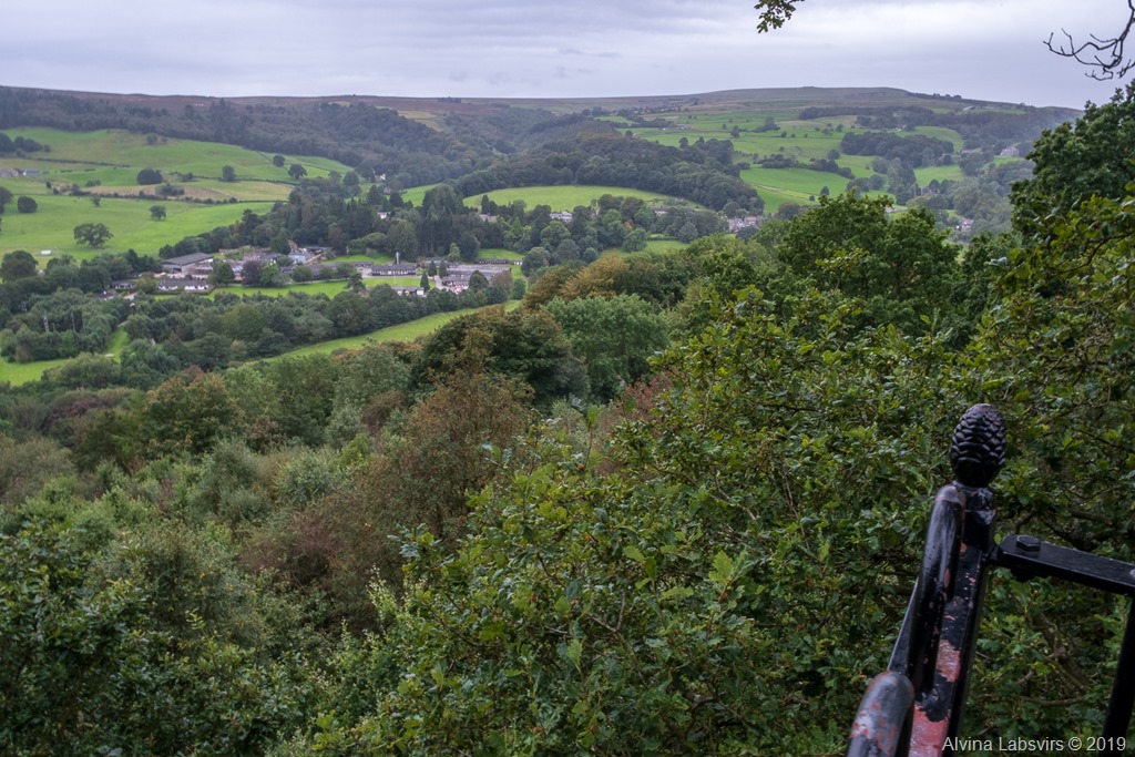
The Nidderdale Way is a 53 mile (squashed) circular walk tracing the Nidderdale valley,
revolving around Pateley Bridge.
It fits conveniently into four sections; Pateley Bridge to Middlesmoor, Middlesmoor to Bewerley, Bewerley to Ripley and finally, Ripley back to Pateley Bridge.
Guides to all of these sections can be found by following the relevant four links. You can listen to Clare’s six sections on iplayer. There’s loads of detail here and in this guide book, telling you which way to go, which bits are hard, rare, to navigate and any diversions or deviations that you need to take. OS map 298 has the whole map, conveniently on one sheet.
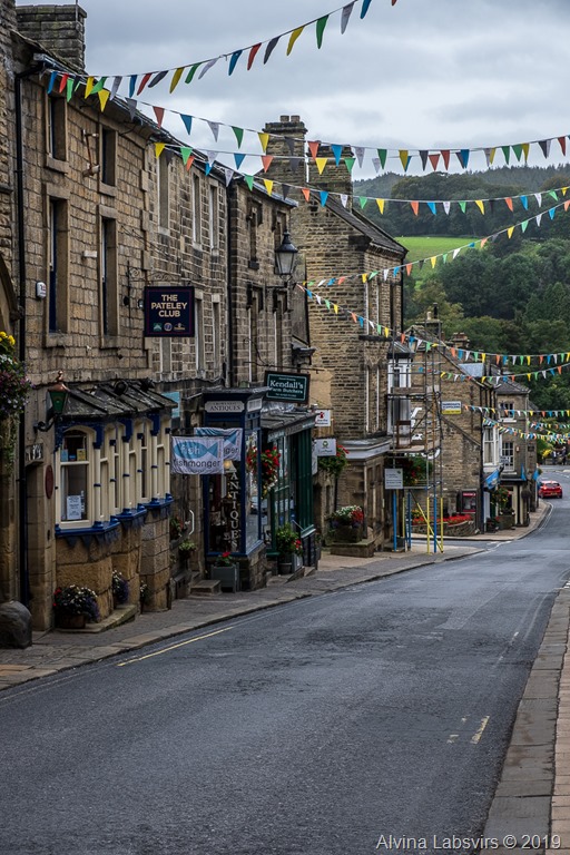
The start in Pateley Bridge
Take six days and you’ll be able to wander and pause to see all the places of interest along the way. Four and you’ll comfortably complete each section with suitable time for photo’s and picnics, but not many off route ramblings.
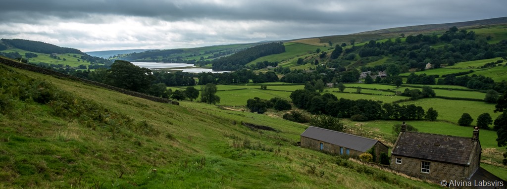
Gowthwaite Reservoir
Our first day started dry. One of the many contrasts we were to experience. From the initial stroll by the river Nidd to the gentle ascent alongside Gowthwaite reservoir, where that deceptively pretty, invasive foreigner, Himalayan Balsam, thrived. Though we discovered it is edible and as far as leaves go, relatively tasty with a good dousing of salad oil. What better way to get rid of a unwelcome guest than eating it?I digress.
As we climbed higher the weather deteriorated. Sunshine was desperately vying with dark clouds as we huddled under ancient larch trees and the lea of a wall to eat lunch.Unfortunately rain ultimately won the battle and we were subject to Yorkshire weather at its most unforgiving. Though, at first it did look quite dramatic.
Heading towards Scarhouse reservoir as the weather comes in
Mist gradually veiled the head of the valley, horizontal rain driven by relentless winds did nothing to move the cloud. When we reached the majestic Victorian edifice of Scardale dam there was a little relief from staccato rain drops found by huddling behind a pillar. Which I needed, momentarily, while hitching up my waterproof outer layer. Our pace of walking increased from a stroll to a route march as we left the reservoir beset by white horses fit for a cross channel swim.
Listen to Clare’s description of the walk from Lofthouse to Middlesmoor to truly appreciate this section of the walk. The gateway gaps in walls meant being blasted by winds which would blow washing from one end of Nidderdale to the other. Our heads went down as we made for Middlesmoor.
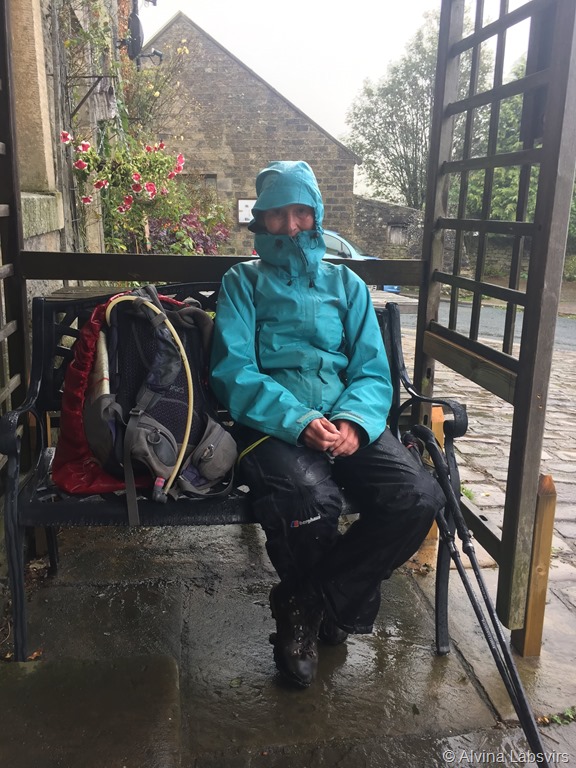
The author
Unfortunately the pub was closed. We sheltered on the doorstep, waiting for our lift back to base, as wet seeped inwards through breathable, permeable layers.
A brighter Middlesmoor
When the weather is bad, there is always another day. And so it was. Day two dawned bright and blue and as we sauntered away from Middlesmoor we were able to see the hill which had seemed so miserable the day before.
Middlesmoor phone
But we had little time to linger and left the village, after chatting to a local taxi driver and testing out the conveniences, complete with book exchange. Checking out if we were able to call home we ambled off to day two
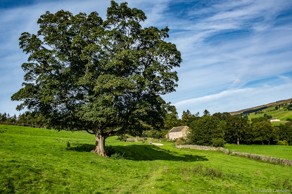
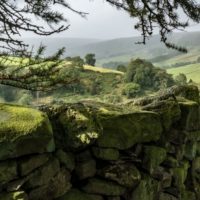
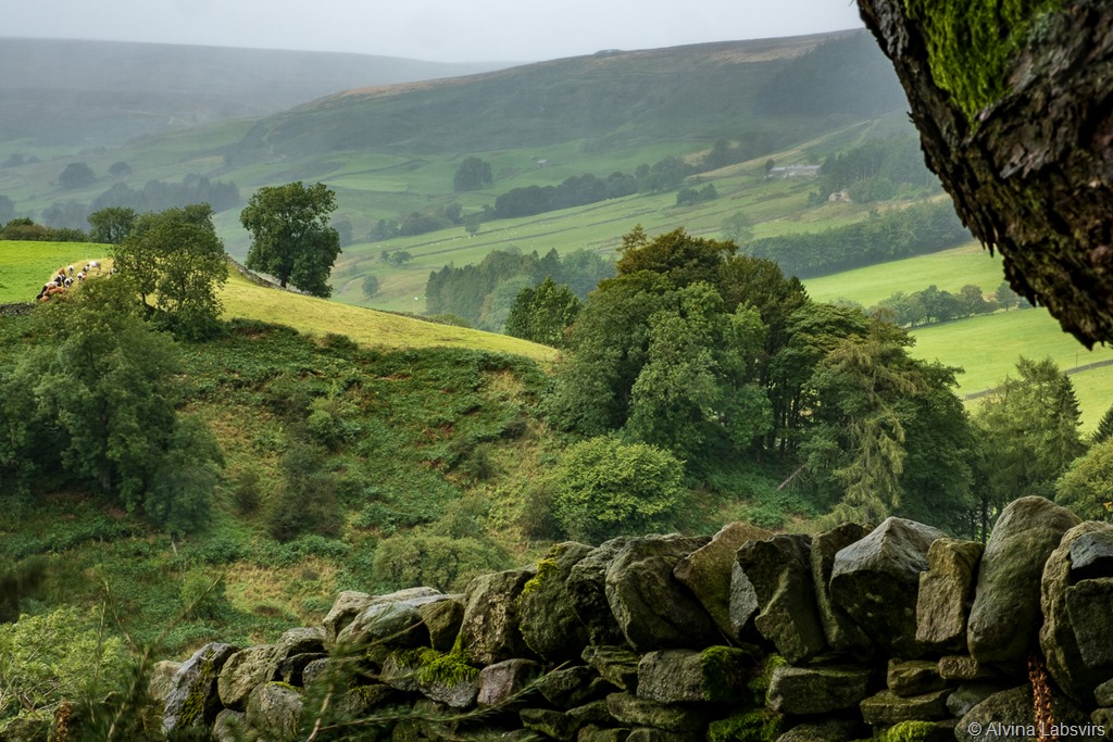
Dales and trees
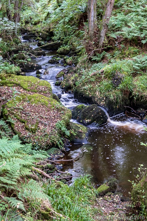
The day rolled on. Significant simply because of it’s lack of events. Possibly the day which typified Nidderdale the most. Undulating tracks alongside the Nidd, barns and oak trees punctuating the views. Shortly after Middlesmoor the dark cleft of How Steen Gorge can be seen over the wall. A deviation done before.
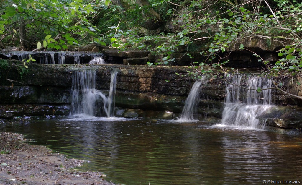
How Steen Gorge
Due to increase in traffic through the valley it is recommended a return to track on the far side of Gowthwaite. Which we took. Small villages, battling for best kept, or in bloom.
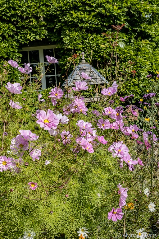
Cosmos
It was a day to linger.
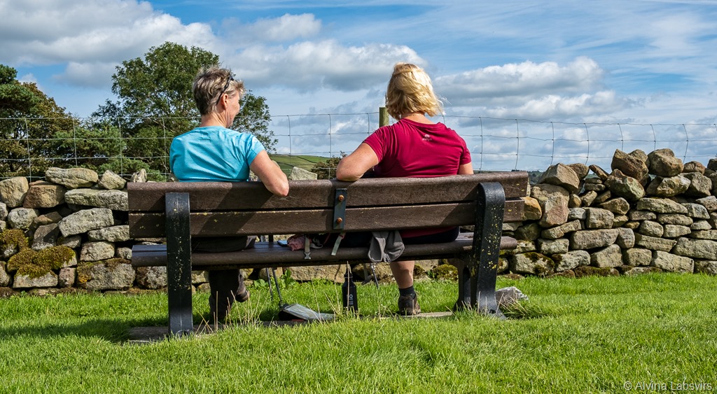
Taking in the view
Of note was the tin chapel. Yes, a chapel made of tin.
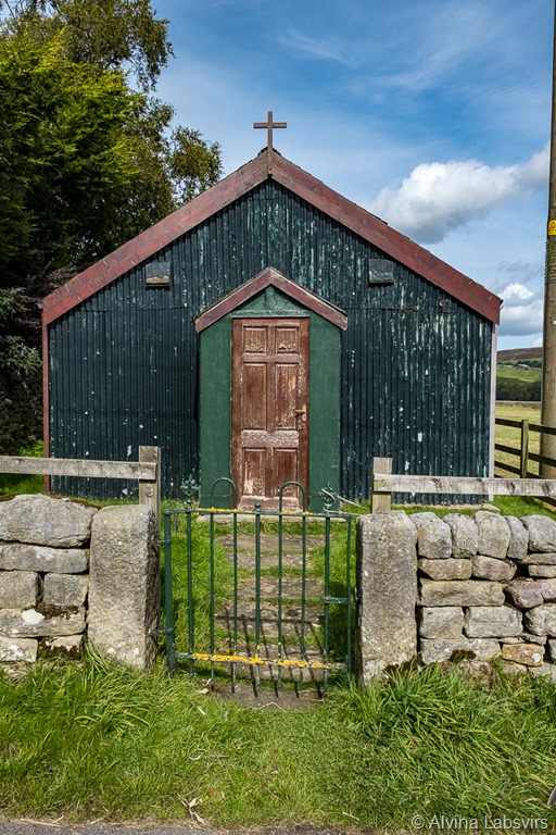
Tin chapel
Just before the drop down into the valley and the destination of Bewerley, the industrial detritus of the old lead mines. A reminder that once this was a much busier landscape.
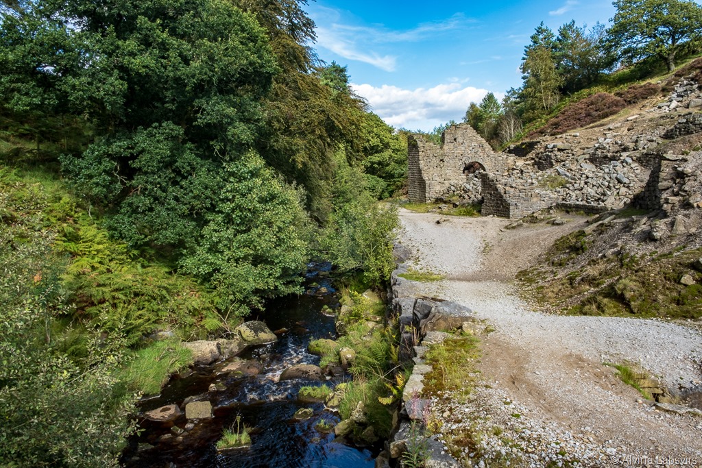
Old mines
The third day took us straight upwards through pasture land, then bracken to the rounded top of Nought Moor. Littered with millstone grit boulders and views which had to be captured.
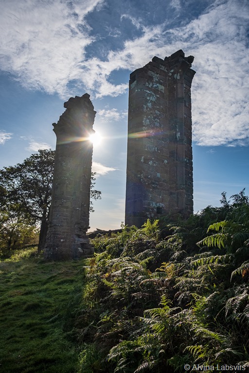
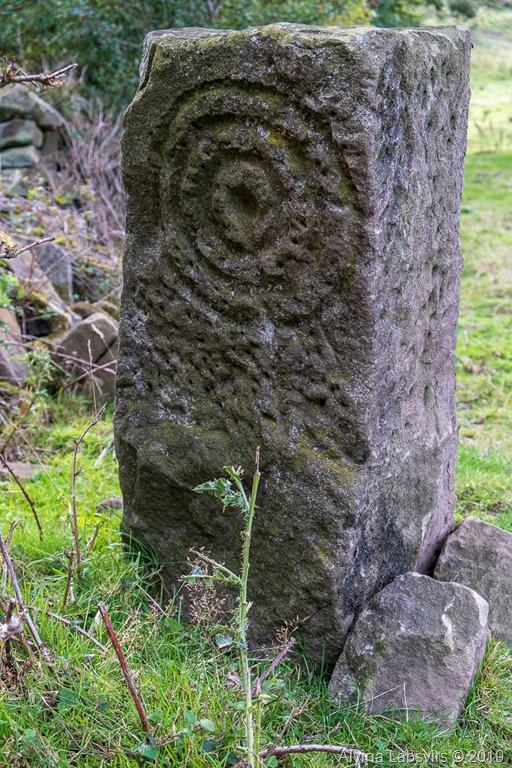
Two Stoops
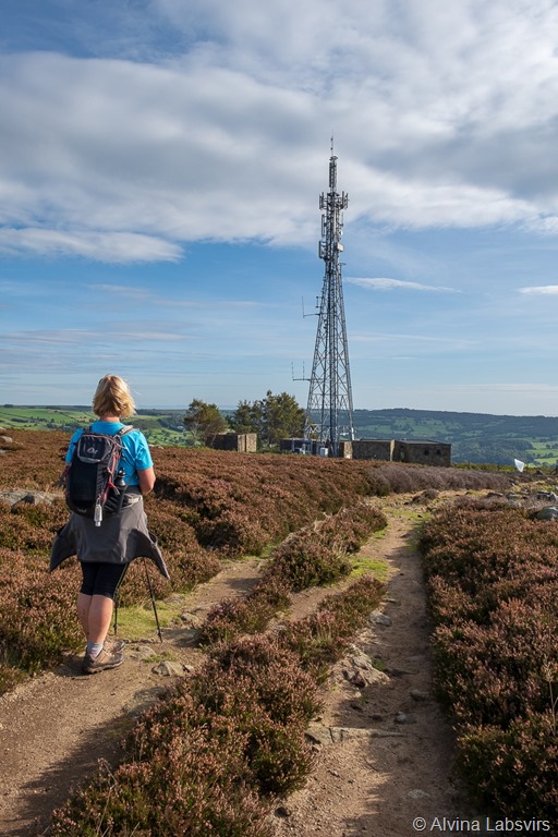
Locally know as ‘two stoops’ is the remains of a folly built by the Yorke family, to provide work for employees in a time of recession. It dominates the hillside and is another view point over Nidderdale. After the bracken followed flat landscape of uninterrupted heather. The Way easy to follow with a freshly cut path of the springy roots to a more recent tower. Perched somewhat incongruously behind security .
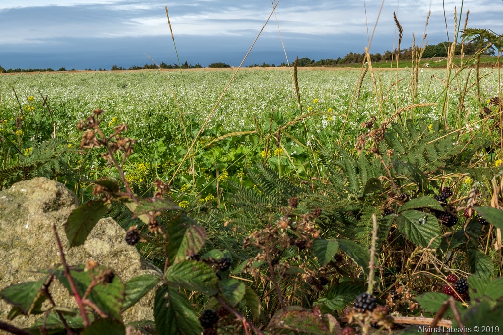
Over the brow of the hill and the slopes returned to their familiar green and farms. Some with surprising crops.

Farm yard carrots
Trundling down to Dacre Banks we found it a convenient place of a morning brew from the village store before once more joining the river.
Dacre Banks bridge
The lower reaches of the Nidd Valley, with its lower folders and kinder climate are more populated and dotted with hamlets and villages. Hampsthwaite being the most southerly and the point where the river and valley are crossed to make the return journey.
After crossing to the opposite side the valley rises gently to Clint. Then things become rather organised. Well kept pathways and signs asking for considerate behaviour. Ripley Castle hinterland. You will only get a glance of the castle and lakes from the route but the cafe is worth a stop. Scones or cake a recommended way to end a day.
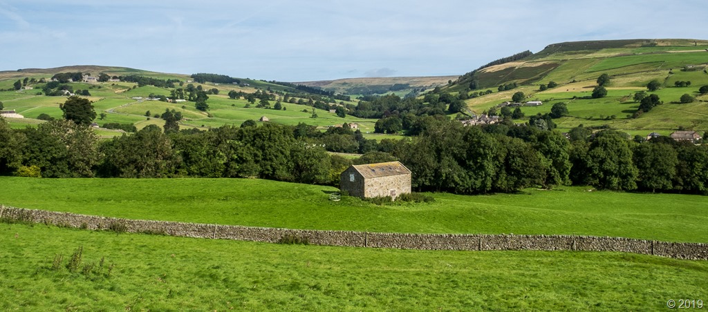
Meadow views
From Ripley, day four, the route continues north through meadows and along tracks. Probably the least interesting section with a vague view over towards Harrogate at its highest point.
Little left at the old village
The old settlement of Cayton marks a turning back to the Nidd, and brings you almost back to Ripley before meandering back west and slightly north.
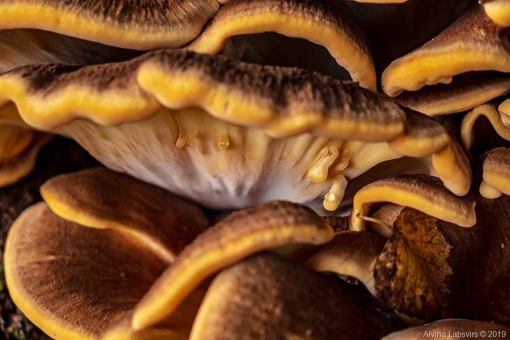
Fabulous fungi
Bar photographing a few fungi, we powered along until the mast bound structure of Brimham Lodge. Not sure who or what is listening to whom.
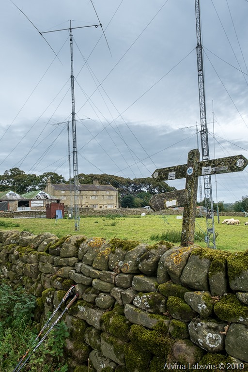
The landscape changed. We were in the land of Brimham Rocks. That wonderful natural structure where children are still allowed to play on unfenced structures.
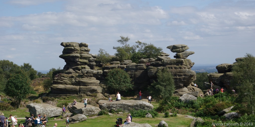
Brimham Rocks
As you seen from a previous visit, it is well worth the detour when you have to wander. We didn’t actually get to the impressive rocks this time. But we had our day to finish.
There was a valley to negotiate
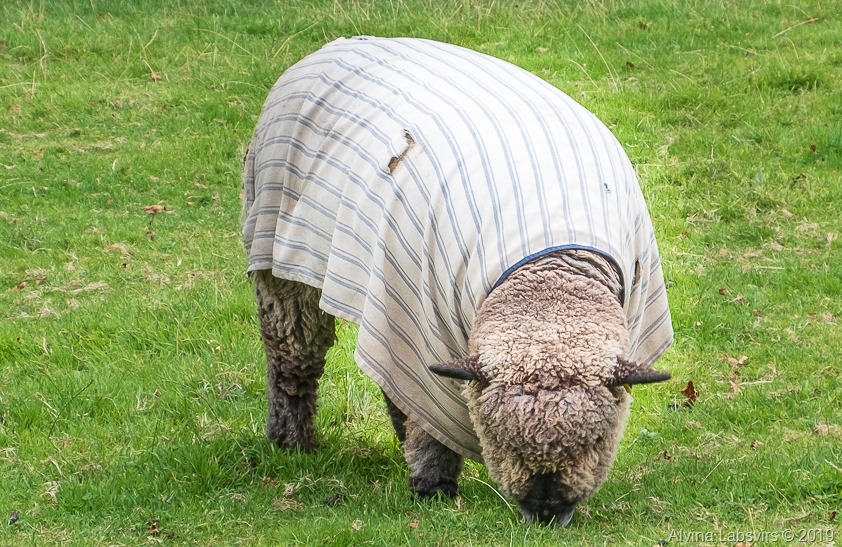
Sheep’s clothing to wonder at; and eventually
Patelely came back to into view and we had a final wander down the quaint streets.
Pateley Bridgee
Good place to stay, Moorhouse Cottage near Pateley Bridge