Green to White and Back Again
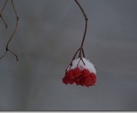
Cumbria has avoided the best of/worst of the wintery weather, depending your perspective on the white stuff. The Langdales tend to conjure up images of steep sides and craggy peaks, but they have to start somewhere and the valleys of Great and Little Langdale have woods, tarns and a sense of remoteness, especially on a rather dull January Friday.
Driving from South Cumbria the snow joined us passing Kendal and we were making significant tracks by the time we reached Skelwith Bridge. Rather than drive on to Elterwater, our original plan, we parked at at here, as the sky was fairly heavy and we planned to return home at sometime that afternoon.
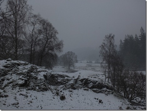
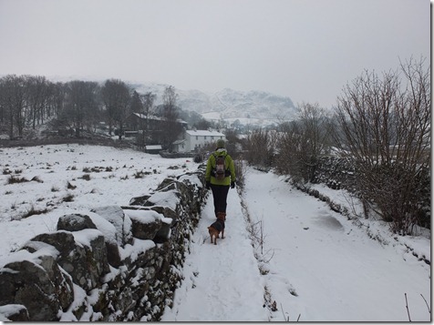
The woods around the river Brathay had turned to monochrome and the rocks on the side resembled model rocks on toy railway sets, spray painted with artificial snow. We picked up the Cumbrian way going west but there was little to see beyond the immediate and the ‘park’ around Park Farm had none of its usual tourists.
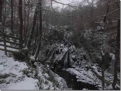
The path along Colwith Force felt slightly foreboding and steeper than usual.
We followed the Cumbrian Way to High Park but as it turned left, we carried on the Stang End and beyond. There was no wind and the soft curtain of dry white snow muffled noise so, bar our chat, there was only the clean squeak of our footsteps. Even the birds were absent, until, that is, we stopped for coffee at a small river and wooded area just beyond Stang End and heard a woodpecker declaring it as his territory.
Shortly after this there is a wooden bridge and ford, you can keep straight on to see the pretty Slater Bridge but we crossed the river towards Little Langdale, down a delightful little lane with its raised footpath, leading to the conveniently located Three Shires pub.
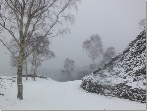
For a shorter day you could, after the pub, head back to Elterwater but we decided to go left at Wilson Place up into Baysbrown Wood, with a view to bit of a hike up Lingmoor Fell. There is a clear path up past the quarry,
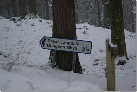
but the sky came down and bit more and pretty soon the snow obliterated the path to a point where we decided a return to the valley would be sensible. There was a clear track below us, even though it was not marked as a right of way on the map, so we cut off piste and down. To discover a the end of it that it was not a right of way, but we were clearly now on the right track to Great Langdale.
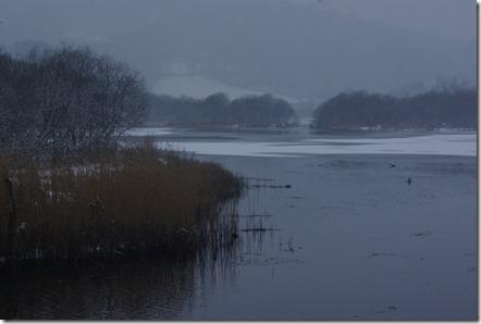
Great Langdale revealed little of its ‘greatness’, we could just about make out Chapel stile on the far side, but none of the hill behind.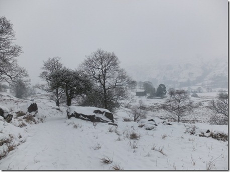
A barn gave us a modicum of shelter to take on a few carbs, before the gentle valley stroll back to Elterwater and Skelwith Bridge.
The car was not snowed in and we returned home safely before a huge dump of snow and were, thankfully, home with wine listening to the ensuing traffic chaos on the radio, when it happened. But would it be there next morning? – see part II.
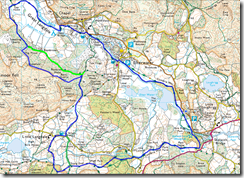
Our route is in blue, the green is a slight variation described in this Cicerone book.

No Comments
Trackbacks/Pingbacks