Tour of Mont Blanc – An Intro
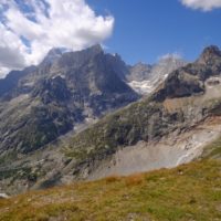
There are too many superlatives to make my trip to Mont Blanc a ‘quick fix’.
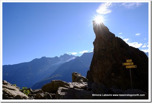
So I’m going to start by posting just a sample
of the many photos I took on the trip.
May be one per day, may be two
or three.
Day 1 from Les Houches to Les Countamines
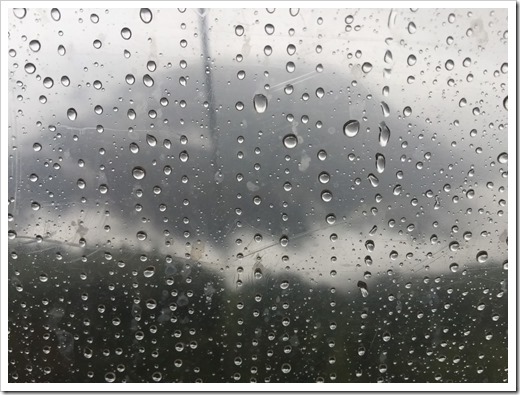
and it rained!
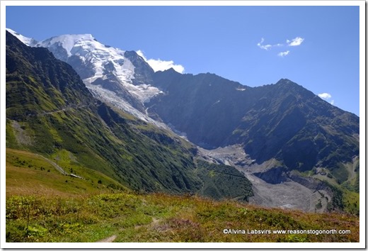
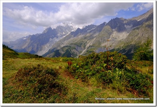
For most of the day we had low cloud and rain. I went back up the hill at the end of the trip and this is what it should look like!
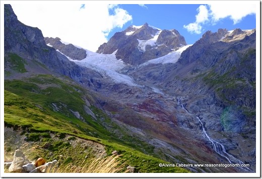
A fabulous view of the Bonnissay Glacier.
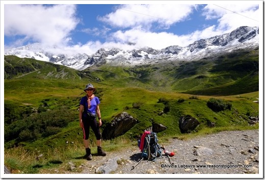
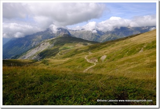
From Les Countaimes to Les Chapieux the clear air with blue sky arrived and stayed with us for most of our journey.
Out of rain capes and into t-shirts
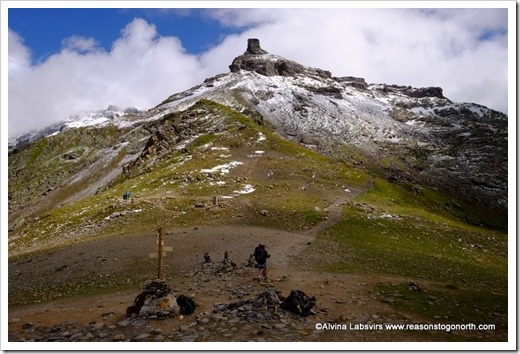
Though it was a touch cold above the snow line from Col du Bonhomme.
A lazy saunter along the valley from Les Chapieux began the next day, but soon more up to Col do Seign.
Our night spent in Rifugio Elissabetta huddled next to the glacier
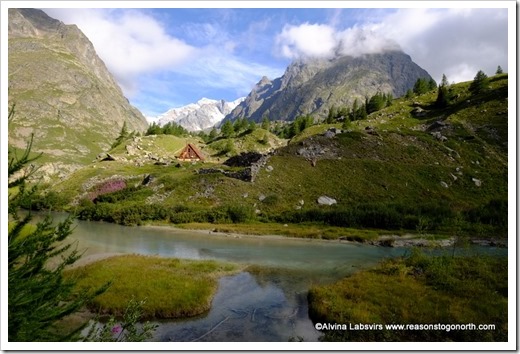
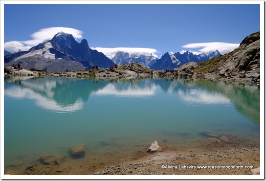
Down the hill and back into Val Ferret with reflections in beautiful lakes,
before drifting down to Courmayeur.
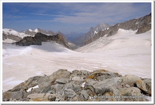
Where we rested a day and I drifted up to set my toes on another glacier.
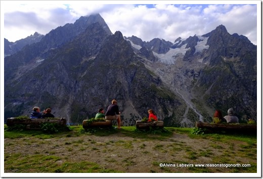
Then to Rifugio Bonatti.
Wandering through bilberries and green pastures on one side while admiring the grey massif of the majestic mountain on the other.
As did all Bonatti’s guests.
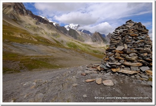
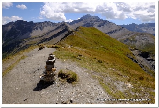
Col de Ferret, the highest point of the next day and we said good bye to the magnificent view which regaled all the way back to Chapiux where we spent our second night.
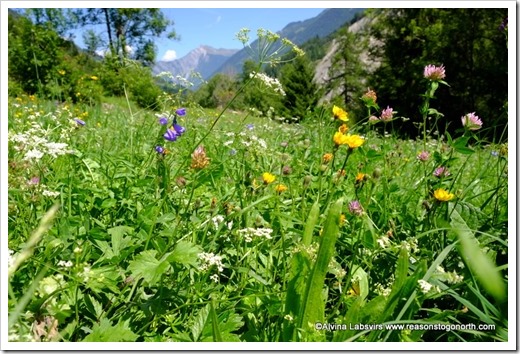
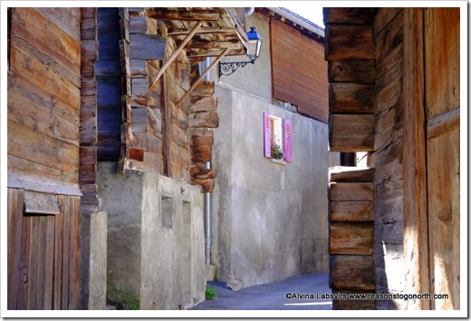
Switzerland was introduced with chocolate box villages and wild flower meadows.
Before the heat induced thunderstorm stole the sunshine and plans changed to a lower level route.
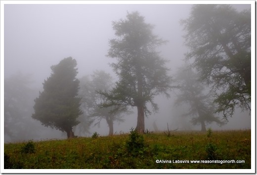
We spent the day tracing the mountains edge through mist drenched forests.
Only a day. We were back in the blue. Over Col de Balme into France again and a lovely hike across Aiguillette des Posettes adorned with wild flowers and bilberries
Before a night in the valley at Tre le Champ.
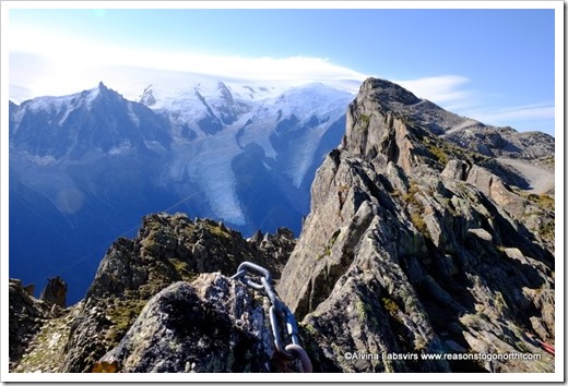
So many highlights followed. From via ferratas and stunning glacial lakes
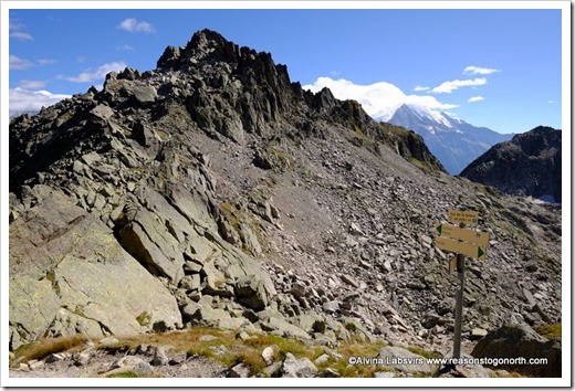
Impenetrable black rocks to cross
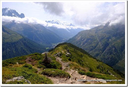
And the final peak of Brevent
when back in full view of Mont Blanc!
TMB, 11 days, 170km, 10,000m up and down!

