Short Walk with Wainwright
Back in Cumbria and soon had itchy feet to go take a walk. Unfortunately did not have all day, having just returned from Shetland, but sometimes having to search for something a little different can throw up unexpected pleasures.
The walk I found (Go4awalkc349)starts from Troutbeck Church, takes around three hours and, if you are into your Wainwrights, takes you up Sour Howes and Sallows. You can find the route here.
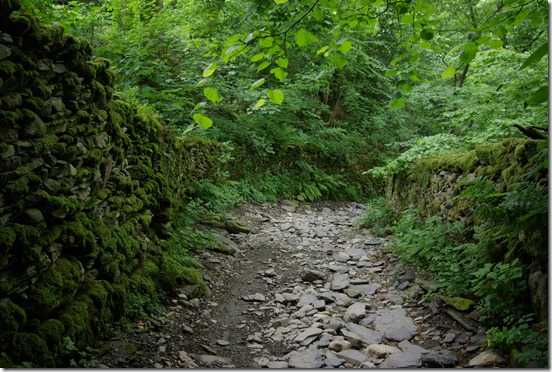
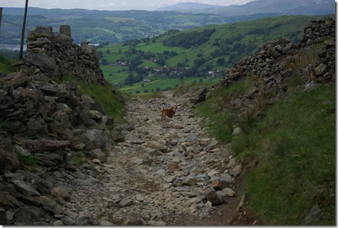
Lakeland history is explored as the path begins by heading up the old Longmire Road. Road now being somewhat of a misnomer as rain and erosion has reduced the surface a rubble track. I was a little bemused at the odd mountain bike struggling up the track.
Even the inclement weather could not prevent summer showing and these were the first 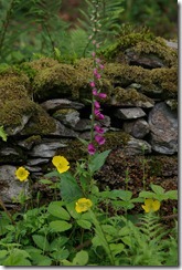 foxgloves I have seen so far this year. I am always reminded of Beatrix Potter when I see them. I learnt to read from her books and poor Jemima Puddle Duck had rather an unpleasant encounter with a fox surrounded by them. Digress.
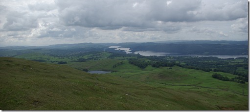
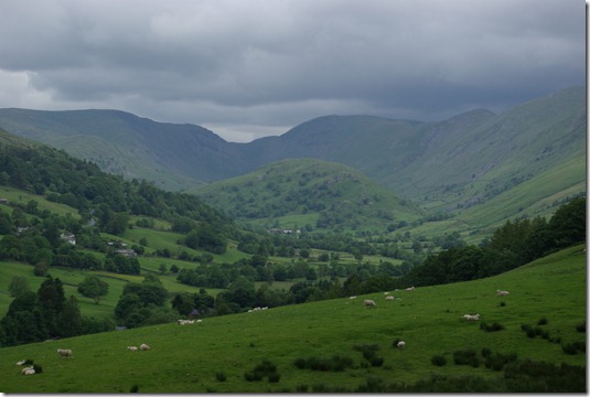
Heading along Longmire Road there is a ladder stile on the right which leads up the fell to Sour Howes. Not terribly easy to find without the OS map as there are lots of undulating peaks and sheep tracks but just keep stopping to admire the view and enjoy. Windermere appears, followed by the Kent Estuary and Morecambe Bay. Down in the valley the Troutbeck Tongue sat with a misty backdrop.
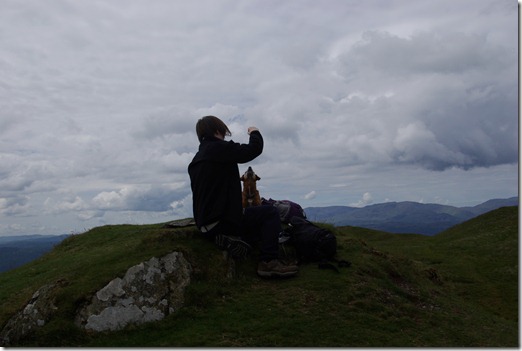
Sour Howes must be the ‘the case of the disappearing cairn’. Apparently there was a small one once. Now there are may be two or three stones and with a flat peaty surround I can see why it does not grow. May be if you decide to take this route, take one in your backpack. Glance down at the now diminutive church and across to the peaks of Wansfell, Kirkstone and Red Screes.
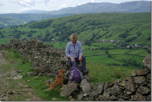
Having conquered Sour Howes there is a grey stone wall to follow to the North where you pick up the Garburn Pass. To bag that other Wainwright, Sallows, hang a right about halfway along and follow the ridge above the old quarry.
Descent is by the old Garburn Road. Although these tracks are now only used by farmers and tourists it is worth stopping and noting the base of the walls. At some points the ‘road’ surface is now over a metre lower. There must have been considerable cart traffic at some point in history to erode to this level.
This must be one of the quietest Wainwright routes. We only met two other groups of walkers and a couple of mad mountain bikers.
Map of the route here
The start point is Troutbeck Church NY412027, OS Map OL7. The route is 8km and took, me, the dog and son 3.5 hours.
Remember you can buy walking books, travel books and all things Amazon here

No Comments
Trackbacks/Pingbacks