Tarns and Waterfalls
This week will be remembered for the weather. Even on the southern edge of Cumbria my village was cut off by flooding. Houses no where near rivers or streams were filled with water – I was lucky. My house is on a small hill and I didn’t even get a power cut.
Eight days later and the floods have gone. Yesterday the rain fell again. A torrent all day in the south of the county.
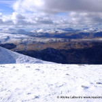
In the north it was snow and today was the first time I ventured out. To see my home county which is still open visitors.

Britannia Inn Elterwater
My small efforts in supporting it – a stop in the Britannia Inn at Elterwater.
With the weather forecast right up till the day before being grim inspiration for the day came from the Westmorland Gazette. A low level walk for a all weathers.
Meeting up at Skelwith Bridge we headed up around Loughrigg Tarn

Loughrigg Tarn
and over Red Bank.

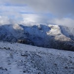
Helm Crag
The views over Grasmere towards Dunmail Raise showing little signs of the devastation which reduced the route to an infamous history only a week ago.

Over Grasmere from Red Bank
Down into Elterwater the Britannia Inn is very much open for business.
Over the well worn track, which my mountain biking friends said was still bikable!
More open for business.

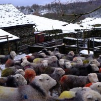
Herdwick Sheep in Little Langdale
There was little sign of other walkers. May be they had all decided to hike up the hills? Being the first day the wind had stopped blowing for days.
Herdie Sheep are always delightful but in the snow, even only a thin covering, they looked a little miserable.
Farmers were still busy out, on quads, with dogs.

Herdie
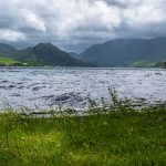
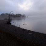
Little Langdale Tarn can be a wonderful blue pond in a bright green valley.
Today, well where had it gone?

Little Langdale Tarn – Perfect reflection
So still there was a perfect reflection it had disappeared? Into a sink hole?
Following the valley back the rivers were still in what, under usual circumstances, would be ‘full spate’ and Colwith Force pounded down. Detritus showing how far it had spread outside its usual banks.

Colwith Force
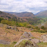
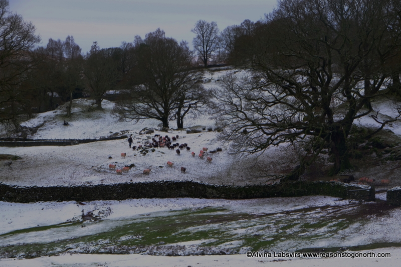
Cold dragged back the mist. Low light began to disappear from a winter shortened day and spread an eerie mist over an empty Low Park, devoid of summer picnics.

Low Park
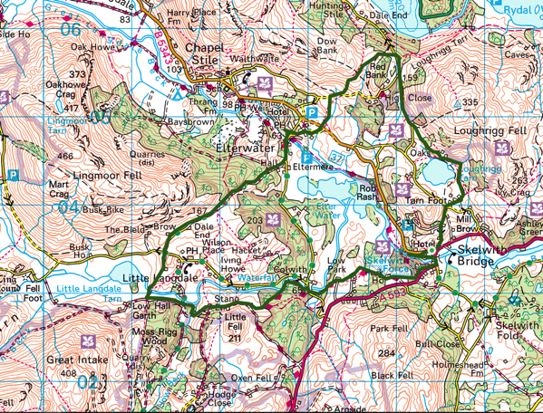
The route. A 12km stroll.
For all weathers. Inspired by a similar route in the Westmorland Gazette Thursday 10th December.