High Street on New Years Day
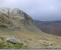
High Street on New Years Day, and not a shop in sight! A couple of weeks ago we set off to walk over Mardale and were thwarted by road works en-route to the car park. Not to be deterred we had a pretty good walk at the other end of the valley over Bampton Fell.
The first day of 2013 was the first fine day, with some sunshine, for what seams like an age, so it just had to be taken advantage of and there were a few other like minded bodies radiating out on the various trails from the end of the valley.
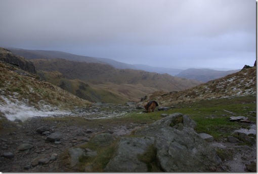
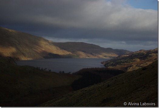 Concerned that the cloud would drop I opted for the short, sharp, shock treatment on the steep, but relatively short way to the top, via Gatesgarth Pass. I was surprised at, dare I say, how easy this was. It looked steep from the bottom but I went up with relative ease. Somehow I am fitter than I thought. A lot, I think is to do with the path. Unfortunately the negative effect of all the walkers is erosion, but Fix the Fells, other agencies and volunteers, do a great job at keeping them foot worthy and pavement like. Compared to the tussocks and bogs of the smaller fells and hills on the periphery of the Lake District they are a walk in the park to negotiate.
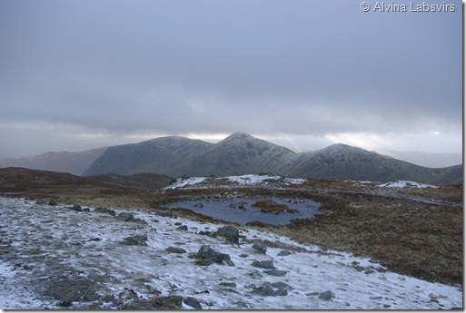
Once up on Harter Fell we hit the snow. At least what little was left. It has been so mild most but the very deepest drifts had all but gone.
From Harter Fell, down to Nan Bield Pass and up over Mardale, was a bit tricky and slippery and we were accompanied by snow flurries as the wind pushed the cloud around and about.
For odd moments Morecambe Bay would appear, then Windermere then just as suddenly, even Ill Bell and Froswick disappeared. The topography of the hills intrigue me. I was effectively walking from the North Lakes, when suddenly I was at the top end of a pass, Kentmere, which is one of the most southerly. There was a ridiculous urge to just walk down Kentmere to Staveley, and I would be almost home. The horseshoe is such a distinctive line of hills with each peak sitting like eggs in a box.
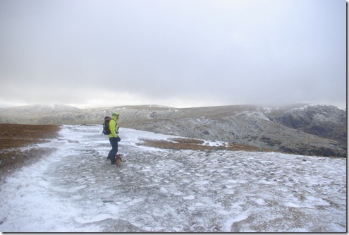
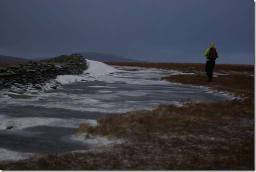
At Nan Bield Pass there is a track down either to Kentmere or back to Haweswater. The weather was ok so we continued up to Highstreet where the snow drifts and frozen pools were proof that we have had a few days of winter this year. The ice did prevent us from getting too muddy, but at times it was only strong enough for Rosie to walk over.
Checking the map the cairn as you join High Street, is on Racecourse Hill. Where, apparently summer fairs were held in the 18th and 19th centauries, including horse racing. We followed the curve round Blea Water and headed down the ridge of Long Stile to Riggindale Crag.
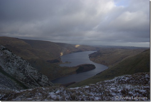
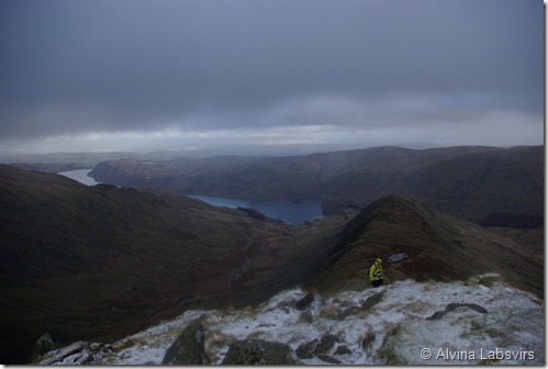
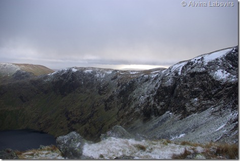
The drop to Blea Water is almost perpendicular, as though a hole had been gouged in the hill with an apple corer. The perspective changes from the south back North as Mardale and Haweswater unfold. The cloud curtain raised just enough to see over the valley and back to the start.
There is a bit of a scramble down the crag to a small tarn at Caspel Gate. As the winter light was threatening to desert us we dropped down in to the valley, over more tussocks and bog, to make a slightly quicker return than walking the full length of the ridge and back by the shore of the lake..
Route map
Pictures of sun on High Street here
Buy Wainwright’s book here
One Comment
Trackbacks/Pingbacks
- Haweswater and Selside Pike - […] October with mist and rain and on New Years Day, snow on High Street was a healthy alternative to…



Beautiful photographs. I miss hill walking very much.