
Maps, Contours and Camping
Maps have become one of my vague obsessions. I have stacks of them. No matter how tatty or full of holes they become. Stuck together with tape and wrinkled from rain I can never bring myself to throw them away.
One day I may have a room which I can paper the walls with.
But this was a whole new level of map.
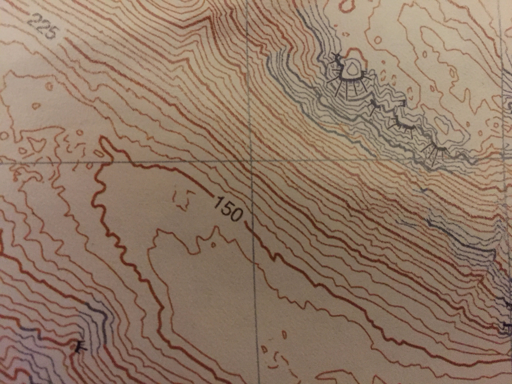
No rivers, walls, roads or car parks.
Just contours and crags.

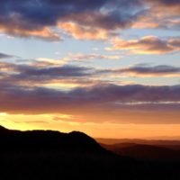
Stickle Pike at Sunset
The aim of the day. To make navigation better. To be able to find my way around using the shape and features of the land.
Before attempting I’d thought it would be mortifyingly difficult and sure that I’d be lost in a bog at least. But with a bit of practice with Chris Ensoll, spurs and re-entrants slotted into the landscape with surprising ease.

By the end of the day a regular OS or Harvey’s map appeared cluttered and difficult to use. A day I’d certainly recommend.
So did it make me a better navigator? Who knows, but I didn’t get lost on the weekend’s wild camp in a place I knew little of.

Stickle Pike from Tarn Hill
Ulpha is somewhere I used, as a child, to play in the river, then take my own son when he was of paddling age.
Now I usually dash through on the way to Wasdale.
Hidden over the hill to the east are Stickle Pike, Great Stickle and Caw. Three more diminutive Cumbrian hills. Between them water from everywhere collects and there’s a myriad of tarns and much maligned bog and bracken. Rocky outcrops adding to the visual gratification as well as providing a dry, high ground to camp.

Sheep with a view
As ever sunshine enhances and the dull grey of the previous evening rolled away with the misty morning.
Dreaded bracken wilted to gold.
Tarns sparkled and reflected blue as if waiting for Wordsworth.
You’ll find a bridleway skirting the bogs and a few tracks up the hills but it’s wandering off, footwear permitting, just to see the tarns hidden on Tarn Hill.
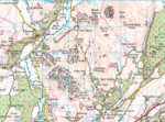
Area map
Contour only maps available from Harvey Maps

Caw