Bampton Fell
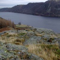
I am not sure that the road along the south side of Haweswater reservoir would have featured on AA Roadwatch, if I had bothered to look. A quick check on MWIS is the usual affirmation of route. Saturday was going to be ‘considerable buffeting wherever you went in the Lakes, but the deception in the low, softer south lakes led to the initial choice.
Anyway, Plan A was to trundle along the edge of Haweswater, where I have not been for eons, then walk up the hill to Highstreet. But the road was closed. Now being a Saturday, and that the sign did say the Hotel was open, we did continue, only to find that the work was carrying on, even on Saturday. The road was well and truly blocked with trucks and diggers and it did not look as though they were about to move for us. So I put my reversing skills to the test back to the closest passing place, where I did a 360 point turn and we trundled back to Burnbanks Village and walked up Bampton Fell, on the north side of Haweswater.
Burnbanks, NY 507 061, is the village originally built for those working on the Haweswater dam when the Mardale valley was flooded. Most of the original pre fabs have now been rebuilt. There is a small car park in the village and delightfully, it is still somewhere you can see red squirrels. They were quite brave and helping themselves on the bird feeders in the village gardens. Dogs have to be kept on a lead so as not to disturb them.
There is a sign pointing to Upper Mardale and plenty of tracks, both marked and unmarked on OL5. An approximation of our route here. 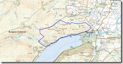
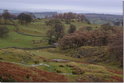
We were well below the snowline at first, and the undulating hills reminded me of the area in South Lakes around Crook.
As we turned west we caught the first glimpse of Haweswater and the snow capped Kentmere range.
The soggy footing became somewhat harder with ice underfoot, as we gained only a 20 or 30 metres in height. I was amazed how quickly the temperature drops, and there was the odd patch of snow.
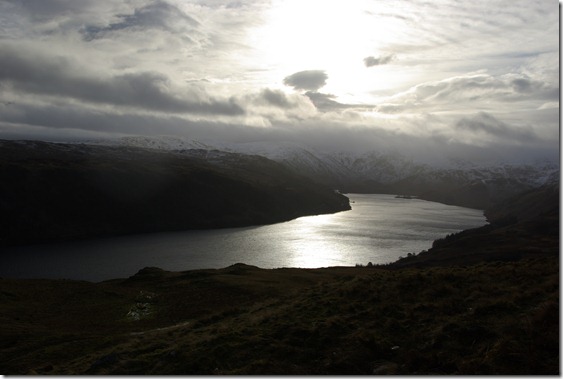
Looking over Haweswater, I became quite pleased there had been an enforced change of plan. Weather was closing in and there was a wonderful theatre of the clouds drifting down. Changing from white to black within half an hour. Definitely something to watch and enjoy from the cheap seats.
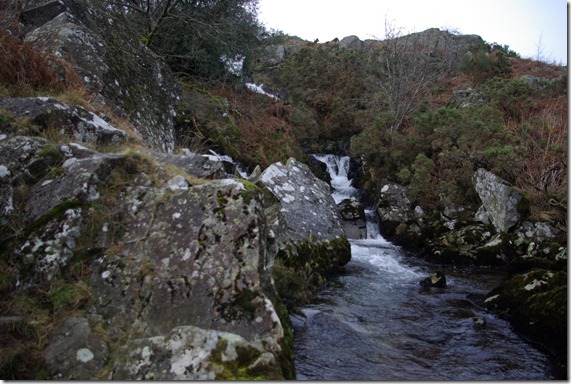
Oddly the sky above cleared momentarily to blue and a rainbow appeared and it was very tempting to walk along Bampton Common to Wether Hill and High Street. The blue was only fleeting though, as the cloud found its way along High Street and almost enveloped us. A decision to take a track down seemed good at this point. Avoiding walking in fog was quite high on my priority list. A track dropped down in to Fordingdale Bottom, lovely name for a valley, which felt more isolated and remote than it actually was. Though as the tracks were had walked on were so much less eroded than many fells, it probably does not have so many visitors. Measand Beck traces the floor and tips into Haweswater over a series of waterfalls, The Forces, and worth more than a cursory glance.
Then it was an easy return to the village, with yet more ideas for walks when the weather and visibility are a little less inclement. More pictures here.
For anyone into Birketts, there are three: Pinnacle Howe, Four Stones Hill and Bampton Fell, within yomping distance.
For a more fanciful tale I remember reading and enjoying Haweswater by Sarah Hall.
Click below to add your blog link to my post…
2 Comments
Trackbacks/Pingbacks
- High Street on New Years Day - [...] High Street on New Years Day, and not a shop in sight! A couple of weeks ago we set…

I’ve not been round by this section of the resevoir before, though have been thinking about it. The views look great, so I’ll get myself in gear. Thanks for the push. I went Kidsty to Harter about three weeks ago and managed to get to the botom car park, must have been luck.
Although not planned – it was a good day, and hopefully will do again and make it a bit longer.