Should I use a Map or a Book or App?
A topic I have debated at length before. Way back when in 2013! Yes, I have been scribbling and publishing for that long.
So long that I’d almost forgotten I’d written about the benefits of all. But I think it’s worth revisiting as my life, and therefore perspective, has changed a tad.
Then I was clearly struggling with maps and squiggly lines. Now, well I am a convert. After slogging through my ML and now vaguely making a living from leading and teaching others out on hills, I’d sooner have a map than a book to check my route and know where I am, backed up by yes, an app and/or GPS for an exact location.
In Cumbria my home territory, where I know the landscape and have a reasonable mental map of ups and downs and points of interest, I’ll plan a route of interest knowing what to expect along the way.
Not so much other places. Even the Yorkshire Dales, almost on my doorstep. I can take you up and over any or all of the Yorkshire 3 peaks, in a day if you must. But other places my knowledge is somewhat lacking.
And here is where books clearly come into there own. I wanted a short walk, starting somewhere near Ingleton, to fill a Thursday afternoon. Five, six or seven miles would be ideal. Yes, I could sit there with a map and figure out a route over rights of way, check the contours and plan a circle. But would it be interesting? Would the views be spectacular? How about those lovely white washed walls of the Dales? Would I see them?
Too many questions remain unanswered from just reading a map. There is, of course, the great god Google, but even that can take time and it’s not always right.
Instead I delved into a book. This book.
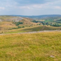
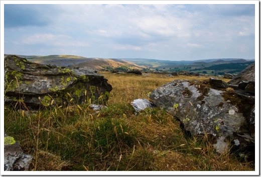
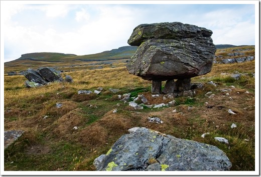
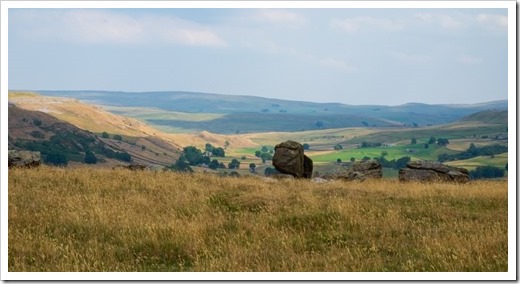
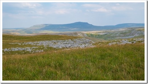
Cicerone’s easy size, sensible summary pages and locational maps and it took little time to choose Walk 40. A walk to the Norber Boulders. Chunks of Silurian stone left, I learned, by upward moving ice, on top of the softer limestone they protect. A route which meanders quietly through white walls to a limestone hill and views over Crummack Dale. Ingleborough and Pen y Ghent visible along the way.
So, map or book or app? Book for research map to find your way, and even an, heaven forbid, I hear the purists cry, an App!
Technology is hear to stay and just and we can not prevent fake news you’ll not prevent people relying on them on the hills. Apps such as View Ranger, now name the peaks on the skyline for you. What’s not to like about that? Along with OS Maps you can get an exact location and grid reference and all, along with dedicated GPS trackers such as Garmin will track and record your route. Power is the issue. Used constantly phone batteries will barely last a day. Switch on to airplane mode to save your phone searching for a service then you may have power for a call should it be needed. Generally there is a signal on top of UK hills, but valleys are another matter. Lo betide the hiker who needs to call out Mountain Rescue because their phone has failed and they don’t have a map.
Would you like that person to be you?

I’ve been using maps since I was a lad (a long time, sadly!) and am a glutton for walking guide books. Recently I’ve become a fan of the OS online apps and do use it on my phone when I’m out in conjunction with a paper map. Like you I’m cautious of the battery running out so I now take one of those backup battery packs in my pack. A little extra weight but worth it for the peace of mind!
Thank you for the comment Mick. My walking and travel book shelf is never long enough!