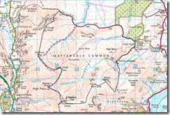
Sticky Tape Sky
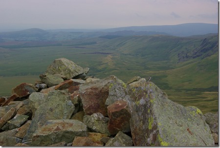
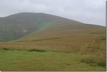
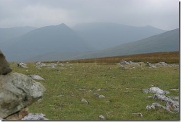
Although not as dramatic as some of the recent ridge hikes, this round of green hills has a lot going for it from the ‘view’ aspect. So it was disappointing that it was one of those grey muggy days where I may as well have had sticky tape stuck over my camera lens. I will just have to try to paint a picture with words and encourage you to take the tour.
I parked by Lucy’s Wood .
Take a benign stroll for a mile or two along the Old Coach Road. Mell Fells, Blencathra and Skiddaw hovering hazily on the periphery and I met this lovely family.
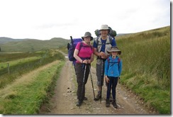 So lovely when the current obsession is kids who do nothing but play with apps. This little girl has spent a month under canvas on her hols with dad and mum and for the past 5 days they have backed packed around the lakes, walking ten miles a day. I was so impressed.
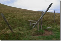
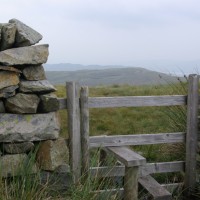
The Old Coach Road carries on to St John’s in the Vale, but there were a few hills to climb so at the second ‘convenient stile’ over the fence the ascent began. Having already climbed over 400m in the car it wasn’t too arduous to scale the heady heights of White Pike and Clough Head. The haze had not quite obliterated the sky and looking back to the old road I was fascinated to see how it was raised, I presume by some kind of minion labour, above the surrounding marshes. Something I no sense of while walking along it.
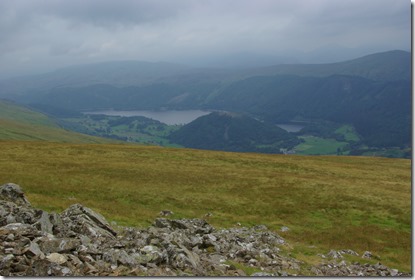
Undulation was the order of the day after Clough Head. Down from each ‘Dodd’ and back up again. Nothing too arduous. Calfhow could give you an ‘awesome’ view of Thirlmere and High Rigg. I was still pretty excited despite the opaque filter.
Great Dodd was more uphill. The highest ‘bit’ of the day. Rain and wind joined me for lunch so I was grateful for the shelter. As were the only other walkers I met. After refuelling it was time to exit. Chill had set in and moving was more attractive than sitting still. So much chill I had tip off my backpack and find gloves before Watson’s Dodd. And another potentially fantasic vista of High Peak and Thrilmere.
Stybarrow Dodd is a mere hop skip and jump away. The contours are quite widely spread as reflected in the slope. For a moment I had a passing whim to wander up to Raise, but getting back to the car? So the idea was quashed and I returned to my rather frenetically waiving GPS compass.
Ragged shadows of the Helvellyn range appeared with the change in direction. Sheffield Pike the only hill with any clarity and it proved a useful landmark before the final swing north and a soggy walk back down the fell to Dowthwaite End.
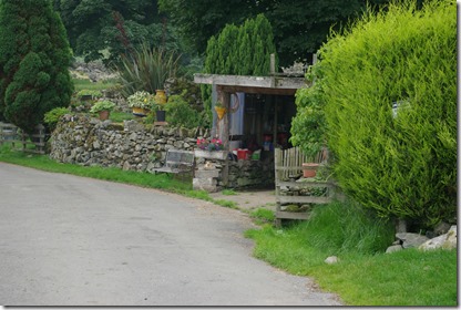
What a beautiful, remote place. Looking at the map now it doesn’t look that far from anywhere, but it felt rather like time was standing still. Though the eclectic collection decorating the farm were gathered from old and new. There are a couple of footpaths back to the start, but as the road is hardly a highway I opted for an easy walk and enjoyed the company of a pair of peregrines circling and calling as I returned.
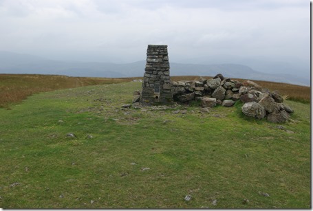
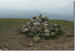
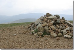
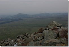
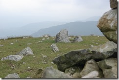
Quiz… Not much in the way of views, but lots of piles of stones – who can identify which belongs to which hill?
 |
 |
 |
So to the GPS. I am a total convert. Having figured out how to upload a route I did find it useful. Especially as it beeps when I am following an uploaded route. Irritating at first, but then quite reassuring when the tops became quite flat and featureless. Then when heading down a wall after Birkett Fell, the beeps stopped and I realised I should have been heading towards Sheffield Pike, not away from it. Next task is to learn how to turn off the beeps. So the route I created, with backtracks and mistakes!
Idea for the walk from Mark Richards Great Mountain Days, available here
 |

