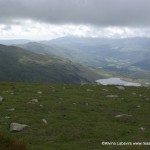
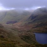
Seathwaite to Lingmell
My quest to complete the AWs has led to some odd combinations of routes and made me ponder a little more about the topography of Cumbria and what a small area it is, considering how many hills and routes there are. Walking the Cost to Coast last year helped me string things together quite well but this latest walk made me think and looking at paths v roads.
Wainwright may have 7 areas for his walks, but I have always sorted them by start point which often falls into the three valleys of Langdale, Wasdale and Borrowdale. All a relatively long way from each other by road, but not by the ancient paths and rights of way we all trudge up. So it took a little jiggling of thought on Friday to link together two hills, which in my mind, belong in different valleys. Seathwaite belongs in Borrowdale, but Lingmell in Wasdale. Great End is somewhat in the middle, so either or.
Looking out of the window at the pouring rain gave me time to check the distances. Seathwaite to Wasdale by road: 40.6 miles. Seathwaite to Wasdale by path a mere 4.9 miles
Not quite so far to Langdale, 27. 1 miles and a vast 6 by path. No wonder these routes have been in use a long time. Pre car, the distances would have made the risk of the hills a far better prospect.
So to my hike. Starting from Seathwaite and over Stockley Bridge the air was laden with the damp which can only be described as ‘missle’. Walk in it and take on an air of a damp, bedraggled rat.
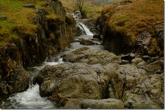
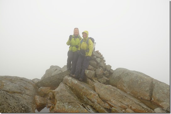
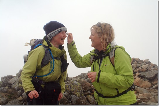
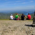
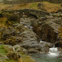
At least the water in becks was playing up to the camera. There was little else to wonder at. On reaching the top of Seathwaite it really was ‘just another pile of stones’. Even at our most attractive Anne and I brightened up the view.
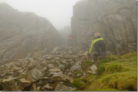
Across Great Slack presented few challenges bar keeping on track. Thank goodness for GPS technology. Then there was a bit of a scramble up The Band
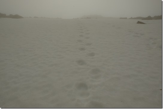
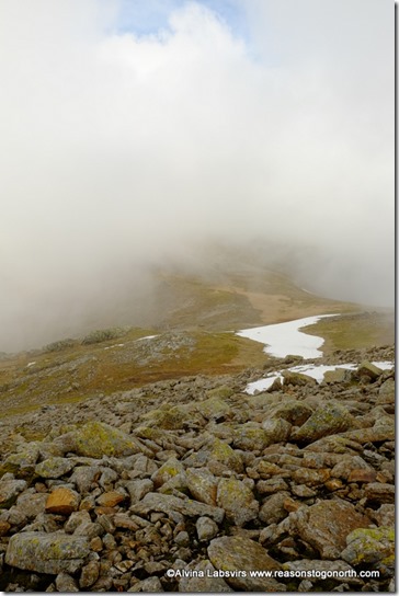
to the boulder strewn slopes of Great End, where to our total surprise, snow still lurked. Spring has not quite arrived on the hills.
Another picture of drowned green rats to illustrate Great End, I feel, could be left to the imagination, except what is a girl to do when she realises she has ‘panda’ eyes?
On a clear day the walk across Ill , Broad and Green Crags must be spectacular, instead we were momentarily filled with false promise as the sky cleared over Great End.
For 30 seconds. Then it was back to slate grey and Lingmell Fell.
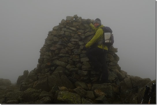
So much for the transition from Borrowdale to Wasdale. There was little to note, just a few miserable rocks and a well built cairn. Obviously a reasons to go again. Not all bad news though.
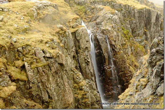
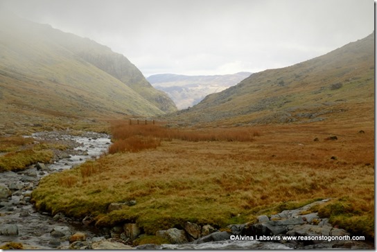
Dropping down to take the Corridor route back we slipped beneath the cloud revealing a little more of the hillside, with streams in winter force enhancing the drama of Piers Gill as they crash down its sides.
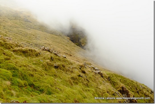
The Corridor route is not all as it name suggests. Parts are open and flat but with the mist rolling in and out
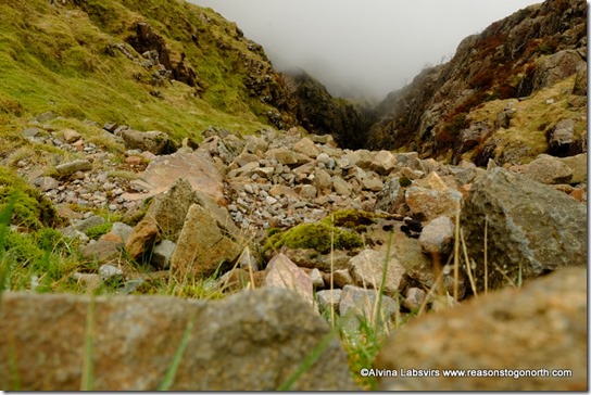
and a few other gills to negotiate
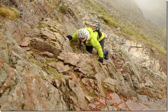
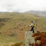
we couldn’t really forget where we were. Especially when it takes an upward slant.
Only a little scramble. And there is a big white arrow painted on the rock so you don’t miss the way. After that we had a leisurely stroll past Styhead Tarn and down Styhead Gill with the clouds lifting and and an easy walk back to the valley.
Or not.
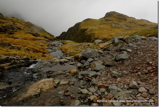
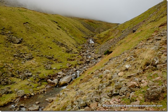
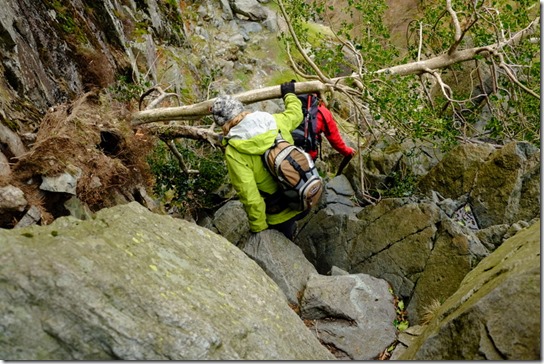
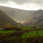
The gill becomes narrower,
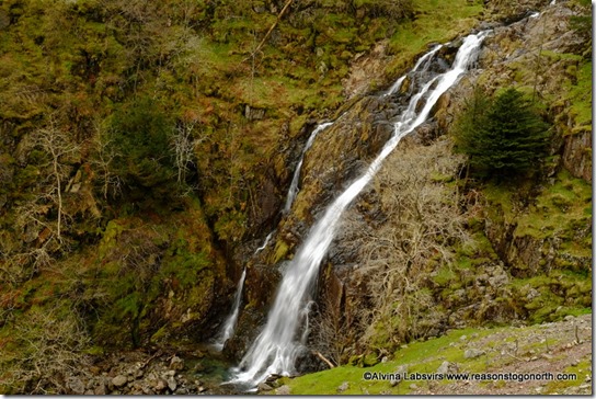
and the trail, well, it sort of disappears. But, for this
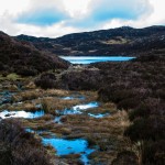
it was all worth while.
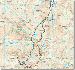
Our route, a little over 9 miles. Lots of fun and highly recommended. On the list to do on a summer’s day. Only 6/214 left!

