Outlying Fells of Swindale
Even Wainwright mentions ‘parking’ in Swindale.
Public transport to the central fells would now present a challenge,
the outlying fells even more so.
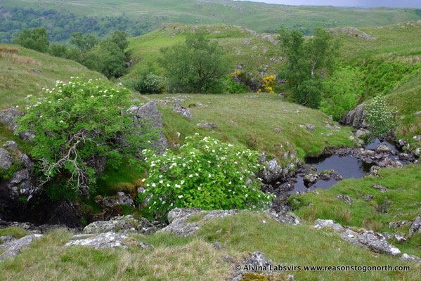
Swindale is a pretty valley perched right on the edge of Cumbria between Shap and Haweswater. I
probably glanced at the hills at the end of day four of the Coast to Coast, walking into Shap. I didn’t think it was going to be too difficult to find. With my car.
Little was I to know that the rollout of superfast broadband was going to totally close the single track road between Shap and the valley. My navigation skills were being put to the chance before I even set foot on a hill.
I almost gave up and went somewhere else but in the end took a 20 or so mile detour up to Askham and back south via Broughton. Thank goodness it was a good day.
Having set off from home in pouring rain and low cloud the rain the sky cleared and washed away to a mix of sunshine and tantalising cloud porn.
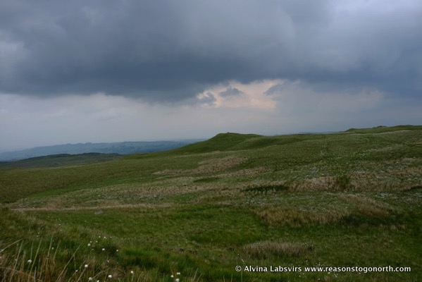
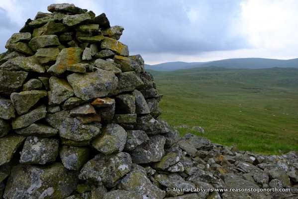
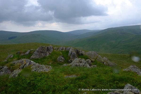
There’s not much to distinguish the ring of rolling hills of Ralfland Forest, no trees left now, and Swindale Common, but the tops have been crowned with cairns. I doubt they are are foray of walkers as there are few tracks on the ground and even fewer rights of way marked on the map. Wainwrights credits them to shepherds.
Nothing much more than 500m, High Wether Howe nearly scrapes 520m but if you want to escape the crowds for a day, it’s worth setting foot.
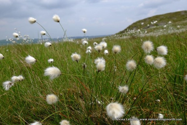
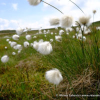
Pick a day after a dry spell as sphagnum and cottongrass cover most of the ground.


