Facebook Fells
Social Media and Cumbria Hills don’t sound synonymous but I was invited to join a Facebook walking group and so for a day at least, I left behind my current obsession of ticking off Wainwrights and met some people behind the profiles.
Not that we didn’t follow AW, there were a few on the route and I was more than quietly pleased to discover that I could tick off an outlying fell/ Birkett, Walna Scar.
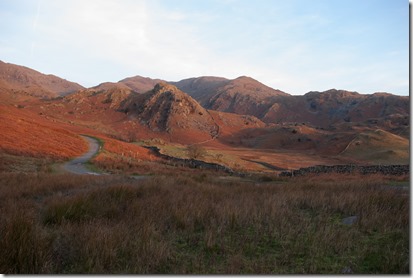
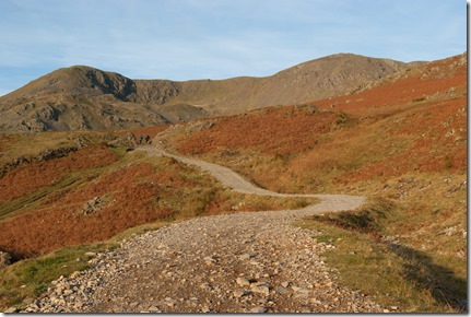
Walna Scar road makes the Coniston Fells so accessible. After all you’re halfway up the hill when you get out of the car.
Not surprising then that on a frosty blue sky morning even at 8.30am, it would have been cost effective to put a toll on the gate.
Coniston Old Man must be my most bagged Wainwright. I have memories of being on top from an early age.
But there is always a different way to tackle a problem or climb up a hill and this was the first time I had started by heading up Walna Scar road.
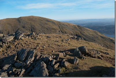
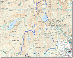
Walna scar is a mere quiet stroll to the base of Brown Pike, where you can take a quick left hand diversion to take in Walna Scar, the outlying, before the right turn up and over Brown Pike, Buck Pike and ultimately Dow Crag.
So different from April when the mist was floating in and out, atmospheric but not designed to linger.
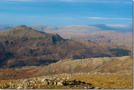
This though, was a day to enjoy,
to play,
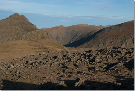
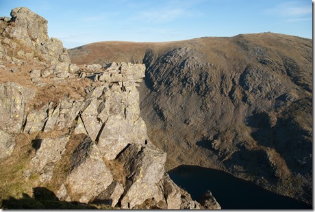
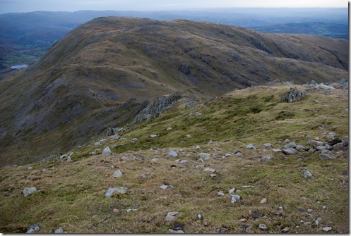
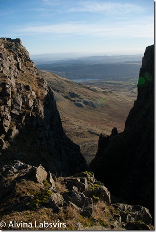
to peer over the drops and dramatic rocks,
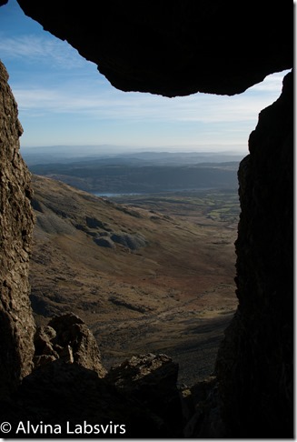
to check out the not so easy ways up the hill for future days and admire nature’s sculptures.
Goat’s Hawse was quiet and wind free unlike last year when I was blown off my feed with a summer gale funnelling over the tarn.
The Old Man was off the circuit but some of the group had not been to the busy top.
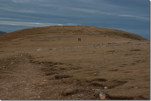
And it was as busy. Packed as Hyde Park in summer time. So back on route we headed north again along the ridge to Swirl How.
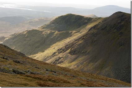
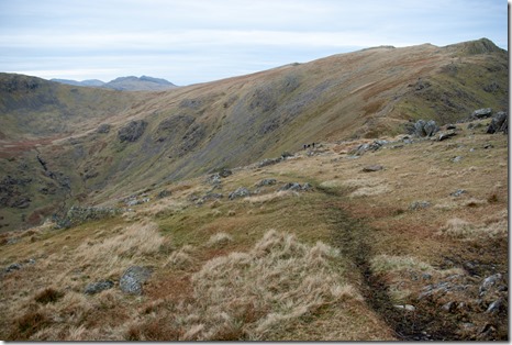
The broad base quickly narrowing as the contours close in.
We dropped off the ridge down Prison Band – another name I would love to learn the origin off. Could it be prisoners were used in the multitude of disused mines that dot the ‘un-natural’ landscape?
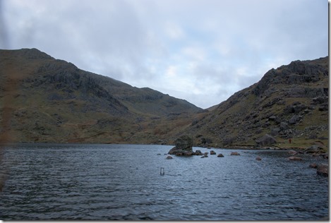
Ice was tucked into the cracks and hollows of the way down. By now cloud had drifted in and this slope probably got little sun in the winter time. Then it was back to a stroll. Picking our way down Sam Bottom, (Who was Sam?) to Levers Water and the aptly named Boulder Valley.
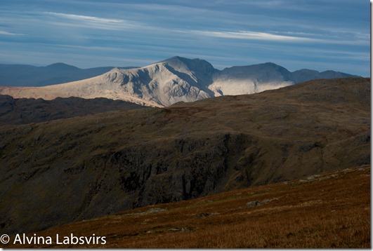
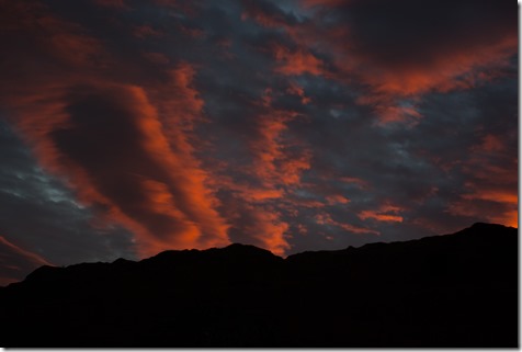
A spectacular light show taking place for the final mile.
And though I hate to say it, thanks Facebook, I had a great day!
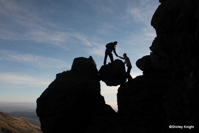
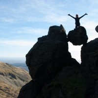
Thanks to Shirley Knight who took the pic of me being hauled up the boulder!
The route
and the map

