Cross Fell from Kirkland
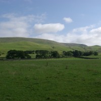
The approach to Kirkland showed clear blue, bar a cap of cloud on the top of Cross Fell, I was unaware of the meteorological connotations of this and was just happy it had gone by the time we began the hike!
Plotting the route, after the event, I was intrigued by the names. So much was happening considering the lack, not only of human habitation, but even other walkers. It was delightfully quiet.
Start in Kirkland – something to do with a church, has to be.
Pass by Baron’s Hill and through Ranbeck before alighting upon the Hanging Walls of Mark Anthony – no mistake, as in the Gardens of Babylon.
I can assure you there were no tendrils of gorgeous flowers, just sheep shorn green. It was obvious even to my archeologically ignorant eye that the steps and terraces found here are hardly a natural feature. Unfortunately I didn’t take a picture, you can just about see the terraces above the wall.
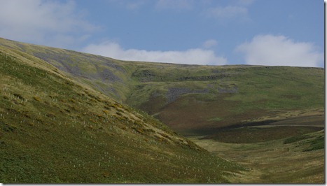
Go almost south to Wynthwaite, keeping Willie Hill to your left…..take a left, go east up Littledale Beck, keep Tottle Hill on the left and start the climb up Grumply Hill.
Around the 550 contour it gets a bit steep as you hop over Wildboar Scar, but who put the pile of stones on Sturba Nook?
I can’t say I noticed Willies Bed, but may be it wasn’t made up. One area was so covered with Shake Holes it is a wonder I didn’t fall down one.
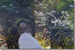
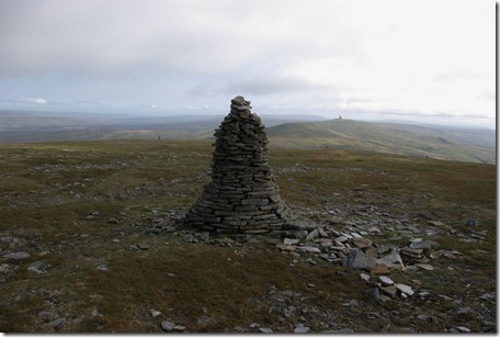
Crowdundle Head was much more clear. This water head was pretty much oozing out between my feet as we joined the somewhat iconic Pennine way. The wonderfully clear sky showed the line of Duns leading to the Golf Balls with falls away to left and right dropping to Teesdale and the Eden Valley respectively.
Over the Eden Valley were my more usual stomping grounds of the Lake District Hills. Set out like a Wainwright sketch. How many can you name? I was a bit more puzzled than when I walked up Loughrigg. Different angle and further north, my excuse.
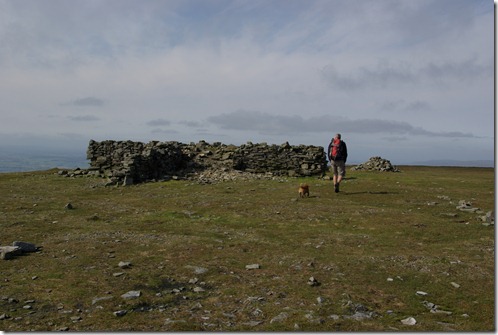
The pile of stones shelter was quite welcome, as by now the local ‘Mistral’ had set in the Helm Wind, which dropped the temperature by several degrees and made for a very quick lunch lurking behind the shelter, while Rosie dog did her usual round of all the other walkers becoming best friends with anyone who could spare an energy bar, e numbers or other wise. According to Wikipedia the cloud on the top of Cross Fell ‘heralds the arrival of the Helm Wind’, but how accurate is Wikipedia. I may be totally incorrect.
After an easy trundle on the Pennine Way along the plateaued summit, ‘go west’ and down and navigate between holds, folds bands and shafts. All that remains of mine workings. It would be interesting to know why Plylier had his name put on the map, but I assume a wild boar lived on the Nook at some point.
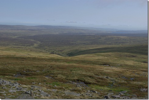
Despite all the names and historical activity Cross Fell gives a good impression of wilderness and the from the top the undulating moorland stretching away to nothingness and giving no clue that that small stream would eventually turn into the Tees.
More pictures of a great day here.
Books about Cross Fell here and here
3 Comments
Trackbacks/Pingbacks
- Pen y Ghent from Horton - [...] might even want to read somewhat drier Cross Fell, Nidderdale and Dent. [...]
- Long Distance Walks - [...] Chester to Carlisle. From reading acorn way marks and other signs, I knew of the: Cumbria Way, Pennine Way,…
- The Pennines in Cumbria - [...] East Cumbria has opened up the delights of the Pennine Way. Firstly with my walk up Cross Fell. I…

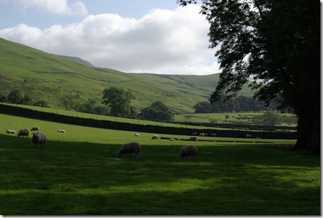
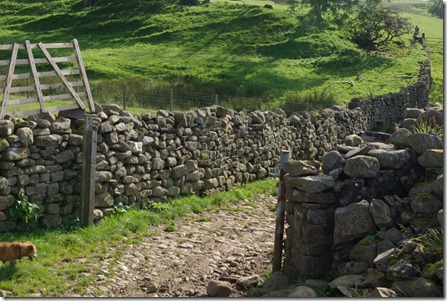
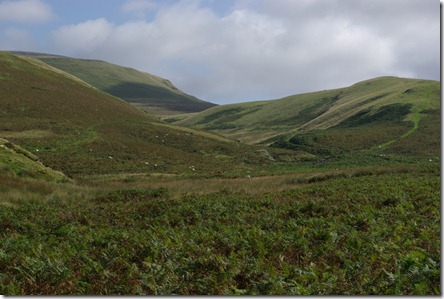


Thanks for sharing such lovely images of the River Tees source, Cross Fell is a beautiful place and you showcase it really well. We could feature some images on http://www.rivertees.co.uk if that would be agreeable?
Great post
Thank you. Yes, please, accredited photos on your site would be agreeable. I am glad you enjoyed reading my account. All looked grim in the snow, over the weekend, up on the fell. I didn’t veture up as the cloud base was very low.
beautiful part of the world excellent blog, we love being northern