Lingmoor Fell

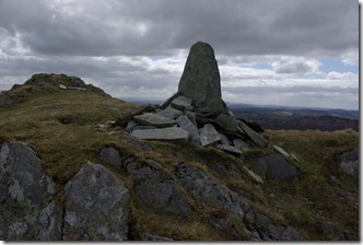
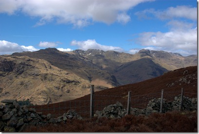
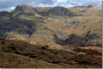
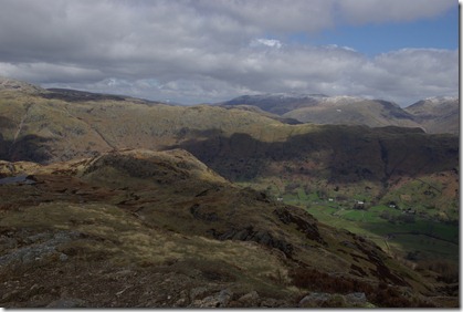
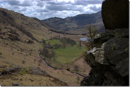
“An awful lot of view for very little effort.” Quote of the day from a group of fellow walkers, whom I shared a lunch spot with, when I hiked up Lingmoor Fell yesterday. They were absolutely right! It is not the highest of peaks, but dividing the Langdale Valley into Great Langdale and Little Langdale, the surrounding panorama encompasses the distinctive crags of Wetherlam, Crinkle Crags and the Langdale Pikes, to name but a few. If your luck is in and the sky is clear then turn around and Windermere Lake precedes a direct line to the coast. All of this and you have only reached 466m. In some countries it wouldn’t even be given a name.
So, the way up. There are paths and tracks on the map from Side Pike, West, North from Elterwater or as we went, from the south east and Little Langdale. My circular route,
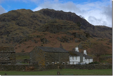
began from the Wrynose Pass road, just beyond Fell Foot farm.
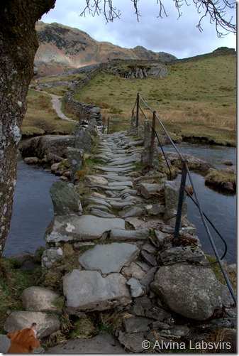
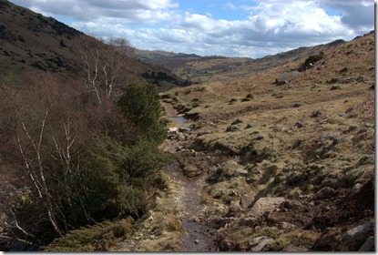
Then follows the River Brathay to the delightful Slater Bridge, passed High Birk Howe and on to Dale End, before leaving civilisation behind and wandering up the fell from east to west.
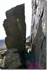
To complete the route back to Fell Foot there is the choice of dropping down to Blea Tarn just before Side Pike, or attempting a tight squeeze to skirt the top.
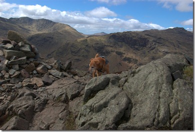
Having watched several people go and take a closer look, before deciding to return to the more mundane route, I did exactly the same. Had a look, and retreated. Rosie would have made it through, but though I am not exactly large, the logistics of hauling through a back pack with one hand on a dog lead. A game of high wire ‘Twister’ sprung to mind.
After retiring gracefully it was a pleasant easy stroll back to my car parked between Castle Howe and Fell Foot, pleased that I had eventually walked up a hill, I had walked frequently walked around and peered across, and it is another Wainwright!
I read about the route in the Cicerone book on South Lakeland Walks. The book was obviously written a while ago as the paths are much more clear than the description credits and there are gates in walls which previously had gaps. Progress and thousands of footfalls.
This route falls between two maps.




No Comments
Trackbacks/Pingbacks