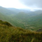
Selside Coniston
Wainwright’s Outlying Fells are proving more lovely, for the most part, than I anticipated. The walks aren’t that long but they give a different perspective on the central higher fells. If, of course, the weather is good.
Today the morning was lovely. No wind, clear air and blue.
Even my drive over was delightful. Trying to take a short cut, which inevitably took me longer. I branched off the main road towards Bouth. Taking a wrong turn somewhere I ended up winding my way along single track roads and the villages of Oxen Park and Bandrake Head.
Beatrix Potter would not have felt out of place. Old barns, tiny cottages and ramshackle farms. An elderly beagle pottered down the road in front of me, paying no heed whatsoever. I wasn’t in a hurry.

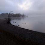
Coniston Water
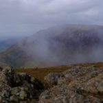
Eventually back on track I parked just north of High Nibthwaite. The track to Bethecar Moor is by the phone box and quickly winds up above Coniston with the Old Man towering behind.

Coniston Old Man
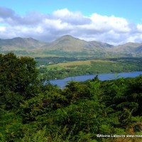
The first half of the walk was easy. Along this clear track, at times bound by walls and all the time the lake and fells checking the direction to the west.

.
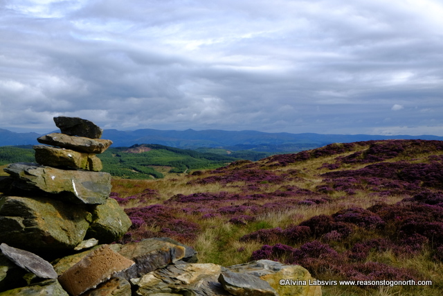
The bracken was still high and green and slightly higher, purple heather blotched along grey rocks.

South Coniston Water
Air so clear the sands and sea split the horizon south west.
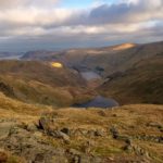
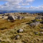
Top O’ Selside is easily reached. Branch off the track up a marked footpath.
North East View
Now well trod from thousands of Wainwright followers. Helvellyn and the line to Red Screes now painted to the North East. Well worth the trip up and certainly worth loitering over tea and cake on a day such as this.

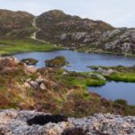
Arnsbarrow Tarn
Tiny Arnsbarrow Tarn is the next point of reference. Beyond that things change.

Marsh
Heather tussocks, bog and scattered occasional rocks mark Bethcar Moor in a totally erratic manner. The right of way is no clearer than the sheep tracks and I was quite surprised that my recorded route actually sat on it most of the way.
I was half thinking of heading up the small hills of High and Low Light Haw but the boggy ground lessened my enthusiasm and once I came across a way marker my mind was made up. I followed it south.
Thinking that was it. A easy stroll as I passed out of the intake on to the farm land I admired the herdies posed on the hill.

Herdwick sheep
The path took me back behind the wall and into bracken. Waist high, in a narrow, steep sided gully with little more room than the floorspace of Caws Beck.

Tick land
A battle through thick vegetation just inside the intake wall. A guide out to the village, with it’s unusual inhabitants

Who?
Map – five miles or so.